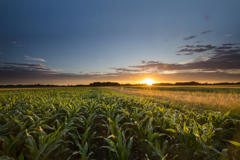
Cool conditions early in April delayed the growth of watermelon seedlings and caused yellowing of some corn plants. Wet fields in the southern half of the state delayed planting and caused problems for corn seedlings and other plants in heavy, wet soils.
Hay harvest was delayed and quality was reduced due to conditions that were not suitable for curing. Fungal diseases were a problem in some crops in the wet areas and blue mold developed in greenhouses, which is fairly rare. Warmer weather later in the month helped reduce those problems.
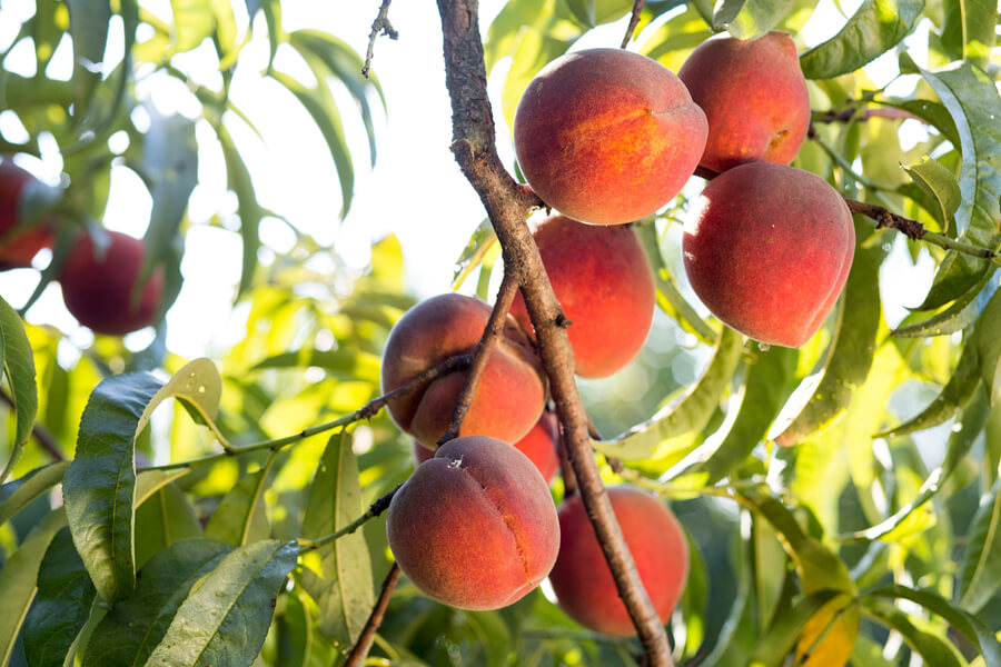
Dry conditions in northern Georgia caused delays in planting dryland fields. Fruit producers worried about frost early in the month, but most areas escaped any damage since the coldest conditions were confined to the northeast mountains.
Heavy rains fell in the southern half of Georgia in April, while the northern portion of the state mainly quite dry, leading to the development of moderate drought in the northeast counties.
Wet conditions plagued the southern half of Georgia in April, leading to problems for some farmers. In the northern half of the state, below-normal rainfall led to the development of moderate drought in 20 counties in the northeastern part of the state.
The highest monthly total precipitation from National Weather Service reporting stations was 7.63 inches in Macon (4.67 inches above normal). The lowest was in Rome where 1.90 inches (2.15 inches below normal) were reported.
Atlanta received 3.15 inches (0.21 below normal), Athens received 2.57 inches (0.58 inches below normal), Columbus received 6.94 inches (3.39 above normal), Augusta received 4.42 inches (1.58 above normal), Savannah received 2.26 inches (0.81 below normal), Alma received 3.32 inches (0.51 above normal), Brunswick received 2.65 inches (0.16 above normal), Valdosta received 5.82 inches (2.95 above normal) and Albany received 6.87 inches (3.23 above normal).
Most of Macon’s monthly rainfall fell in the first 24 hours, when 5.21 inches was recorded. This smashed the old record of 2.63 inches set in 1982. Augusta and Alma also broke daily records on that date, receiving 3.92 inches and 1.35 inches, respectively. This broke old records of 2.14 inches set in 1936 and 1.18 inches set in 2005.
The highest single-day rainfall from Community Collaborative Rain, Hail and Snow (CoCoRaHS) stations was 5.48 inches southwest of Moultrie on April 2, followed by 5.37 inches received near Kathleen in Houston County and 5.21 inches recorded 18 miles south of Donalsville in Seminole County. Eight stations reported single-day rainfalls of 5 inches or more on that date. The highest monthly total rainfall was 12.18 inches recorded north of Macon, followed by 10.17 inches near Tifton.
Drought returned to the state late in April when the National Drought Monitor declared a D1 (moderate) drought in Georgia’s northeast counties.
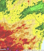
Severe weather was reported on five days and several tornadoes were observed in central and south Georgia on April 1. A NWS report on these storms can be read at www.srh.noaa.gov/ffc/?n=morningtorsofapril1,2016. A second round of tornadoes hit Georgia on April 6. Six people in mobile homes were injured in these storms.
Temperatures across most of the state were above normal in April, with the exception of a streak of cooler conditions in southern Georgia where rainfall was high. In Atlanta, the monthly average temperature was 64.1 degrees Fahrenheit (2.1 degrees above normal), in Athens, 63.4 degrees F (1.7 degrees above normal), in Columbus 65.2 degrees F (0.6 degrees above normal), in Macon 63.8 degrees F (0.4 above normal), in Savannah 66.9 degrees F (1.3 above normal), in Brunswick 67.5 degrees F (1.0 above normal), in Alma 65.9 degrees F (0.2 below normal), in Augusta 63.8 degrees F (1.1 above normal), in Albany 66.9 degrees F (0.8 above normal), in Rome 61.6 degrees F (1.8 above normal) and in Valdosta 67.9 degrees F (2.0 degrees above normal).
Atlanta, Athens, Savannah and Augusta tied their record high temperatures on April 29, matching records that go back as far as 1894.
The outlook for May through July shows a slightly enhanced chance of wetter and warmer than normal conditions. El Nino continues to decline and neutral conditions are expected to return shortly. NOAA has posted a La Nina watch for later in the year, which could mean warm and dry conditions in the latter half of the growing season. The Atlantic tropical season is also expected to be more active than usual in the absence of an El Nino, especially if La Nina develops quickly.
For more information, see the “Climate and Agriculture” blog at blog.extension.uga.edu/climate/ or visit www.gaclimate.org. Share your weather and climate impacts on agriculture by emailing pknox@uga.edu.