`Blame Long Drought on La Niña´ |
The drought that started in May 1998 is expected to continue and worsen in Georgia through at least early summer.
Recent rains have helped the soil moisture across parts of the state. However, Georgia is entering the prime growing season with little soil-moisture reserve. Even with recent rains, stream flows across the state remain well below normal.
The outlook from the federal Climate Prediction Center is for an increased probability of below-normal precipitation and above-normal temperatures statewide for March through July.


Soil-moisture Deficits
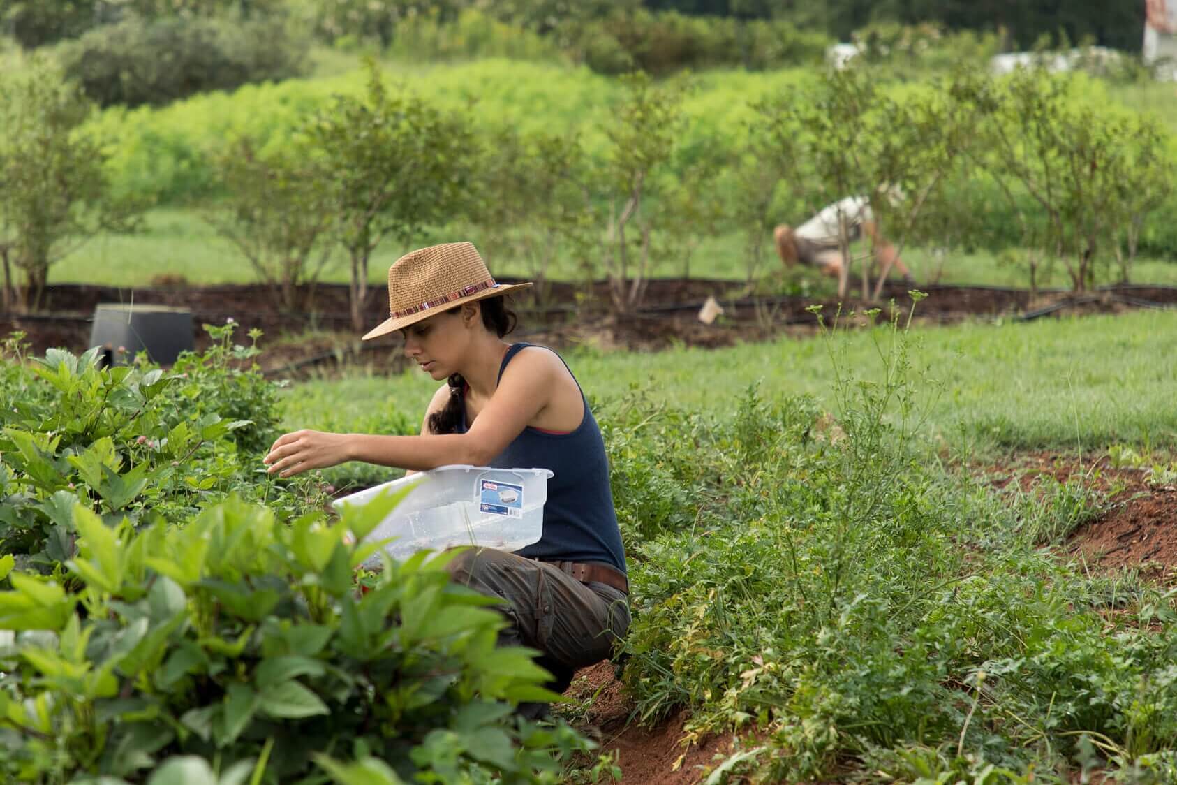
Even with normal weather, Georgia normally loses more soil moisture through evaporation and transpiration than it gains through precipitation during the peak of the summer growing season.
During these times of soil-moisture deficits, plants depend on the reserves that collected during the winter. But this winter built up few reserves.
For March, the CPC outlook is for equal chances of above-normal, normal and below-normal precipitation in all but the southern quarter of the state.
South Georgia Outlook Worrisome
There, the outlook is for a slightly greater chance of below-normal precipitation.
An outlook only slightly below normal is still a concern in south Georgia because of the long dry period and the winter's low soil-moisture recharge.
Since Jan. 1, the southern half of the state is more than 3 inches below normal. Some places along the Florida border have had a soil-moisture deficit all year.
CPC's long-lead March temperature outlook is for a 48-percent chance of above-normal, 34-percent chance of normal and 19-percent chance of below-normal temperatures.
Long-term Outlooks Major Concern
The March-through-May precipitation outlook is for a 23-percent chance of above-normal, 34-percent chance of normal and 43-percent chance of below-normal precipitation across all but the extreme north Georgia mountains. There, the outlook is slightly better.
The temperature outlook for March through May is for a 41-percent chance of above-normal, 34-percent chance of normal and 25-percent chance of below-normal temperatures statewide.
For June through August precipitation, the outlook is a climatology forecast. This means the chances of normal, above- and below-normal precipitation are about equal.
But the summer is expected to be hotter than normal. For the northern third of the state, the temperature probabilities are 41 percent above normal, 34 percent normal and 25 percent below normal. For the rest of the state, it's worse: 48 percent above normal, 34 percent normal and 18 percent below normal.
  |
Hotter Summer Means Drier, Too
Warmer-than-normal weather will increase soil moisture losses to evapotranspiration. And with above-normal evapotranspiration, plants depend even more on the already-low soil-moisture reserve.
The La Niña pattern most affects our current climate. This pattern is marked by abnormally cold surfaces in the equatorial Pacific Ocean. The current La Niña is in a mature stage. But CPC computer models and statistical predictors expect it to slowly weaken over the next several months.
CPC reports that the subsurface temperature pattern in the equatorial Pacific is starting to evolve into the buildup stage for an El Niño (abnormally warm Pacific surfaces) pattern. The buildup usually takes one to two years.
This change in the ocean temperature pattern is the first sign that the drought's end may be in sight. However, we can't expect much of a chance of relief before late summer.